Photogrammetric Maps
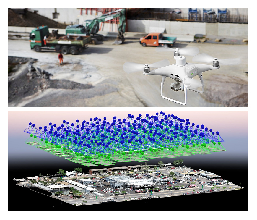
Photogrammetry: It is the science, art and technology of obtaining reliable surveyings and information about physical objects by recording, surveying and interpreting photographs or images obtained by metric cameras or special sensor systems. A photogrammetric point is determined with the help of a computer on photographs taken from the air and ground, so this is called a photogrammetric triangulation. With the orientation parameters obtained after photogrammetric triangulation, photos can be managed and vector maps can be produced by creating stereo images.