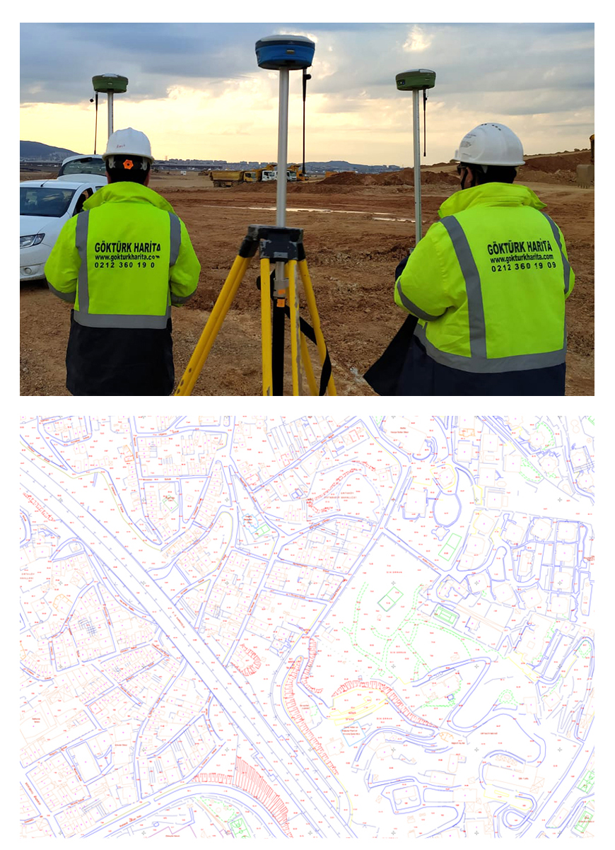
Digital Current Mapping
"How the word 'current' explains itself, here we are looking right to the current situation. Current mapping means that we show the current situation on this map. In the current map everything like triangulation, RS points, polygon points, buildings, number of floors of the buildings, roads, pavements, streets, roads and off-road elevation curves, trees, electricity poles, island and parcel borders and numbers etc. is shown. Current maps are made in 1/1000 or 1/2000 scale in according to the principles of “Construction Regulations for Maps and Plans of 1/2500 and Larger Scale”."
These are maps that are prepared to form a basement for the projects and include all the details along with the topographic condition of the area. For the purpose of drawing up the plankote map, the surveyings include a detail point at approximately every 3-5 m according to the desired precison), places where the slope changes, splays and existing structures in the land if there are any.