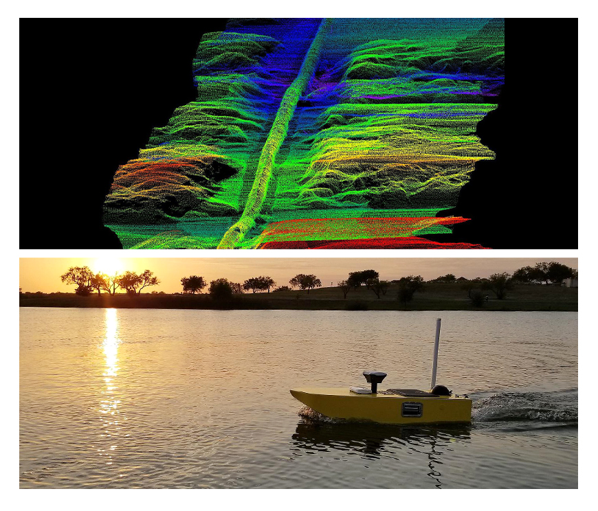
Marine Structure and Bathymetry Surveyings
Current velocity and direction values can be taken with ADCP device according to depth, location and desired ranges in fixed or mobile form. Depending on depth, salinity, temperature and density can be obtained in CTD surveyings. In combing and filling works, depth can be obtained instantly with the help of profile scanned sonar. In such marine studies we provide our engineering services.
In general, because of the terms of location accuracy the RTK-GPS method is applied in all sea surveyings. As computer software the most professional hydrographic surveying programs are prefered.
Bathymetry usage areas:
• Marine structures
• Dam and hydroelectric power plants
• River and stream rehabilitation projects
• Port and marina projects
• Surveying studies of underwater sediment thickness
• Surveying studies of underwater feets of bridges and viaducts
• Determination of underwater historical archeology areas
• Stream surveyings
• Surveying, evaluation and modeling of water levels
• Wharf construction applications, GPS systems installations for ship and land