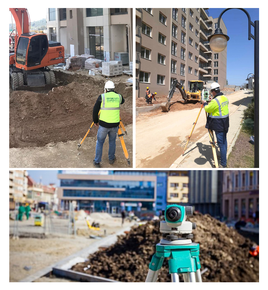
Infrastructure and GIS surveyings
Geographic Information Systems (GIS) are used extensively in infrastructure applications as in many other fields. Inquiries and analyzes regarding the interdependence of infrastructure applications and their use in future years can be made by the GIS.
In a GIS, it is possible to see the existing map, various infrastructural systems such as drinking water, wastewater, the application project designed for any street and the as-built plan together, to make local analyzes related on them and to compare the existing systems with the new ones. GIS enables many criteria to be seen together during the planning process and also questioning, analysis and modeling this criterias at the same time.


